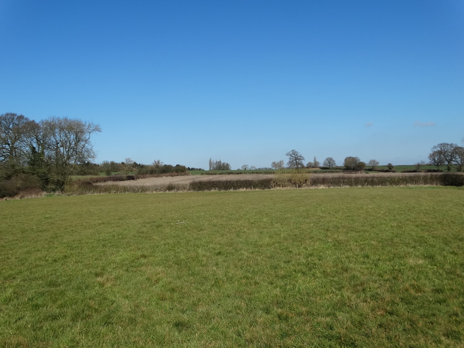
Sunday, 3 April 2016

Walk 2 - Bruntingthorpe to East Langton

As planned we did our second leg of the Leicestershire Round on Saturday 2nd April 2016 and were again very lucky with the weather.  A couple of days before it had been forecast to be sunny and warm until early afternoon so we planned an early start.  On the day we woke up to rain so we delayed the start as better weather was due by 10.00.  By the time we had sorted the cars out - one at East Langton and the other at the start location of Bruntingthorpe, it had stopped raining.

Bruntingthorpe to Shearsby

Bruntingthorpe was home to the former RAF Base of the same name.  It was operational between 1942 and 1962 and used also by the US Air Force.  It is now known as Bruntingthorpe Aerodrome and houses an airfield museum and used as a proving ground for high performance car testing with various circuits between 0.9 and 4.2 miles in length.

We had a few problems finding the footpath out of the village, which turned out to be down a lane called "Little End" which led into a field of sheep with their lambs and then across farmland.

Young lambs at Bruntingthorpe

As we neared Shearsby we could see the Shearsby Bath on our right.  This is a very nice restaurant and events venue that was a former spa.  We entered Shearsby village and passed the Chandlers pub which used to be an Indian Restaurant but appears to have changed hands recently and now offer a more traditional menu.   

Shearsby Village Pond
The road out of Shearsby to the A5199 passing the village pond on the way, was lined with daffodils and very pretty.

Shearsby to Saddington


After crossing the A5199 the route took us through many fields of horses.  It was very muddy and slow going

Paul with horse on footpath
Conditions underfoot got better as we approached Fleckney where there was plenty of birdsong in the fields including chiff chaffs, skylarks, wrens and great tits.  It was on this part of the walk that the sun came out and it became very warm so off came the fleeces.   There was also a lot of traffic noise as the country lanes around this region are used as "cut throughs" from the A5199 to the A6.  The route took us to the very edge of Fleckney before turning right to Saddington.

Pond in field near to Fleckney

Saddington to Gumley

Saddington is a very pretty village with an excellent village pub which has excellent garden views overlooking the reservoir.  We nearly chose this as our pub lunch stop.  The route through Saddington Village took us up a drive towards a farm and then along a path between the houses, across Main Street and out to paddocks south-east of the village. 

This was the most scenic part of the route so far.  Stunning views  of rolling hills, streams, fields of sheep and lambs and, to our right, Saddington Reservoir, which was created in 1802 to feed the nearby Grand Union Canal.
View towards Saddington from Smeeton Hill

Saddington Reservoir from Smeeton Hill


We climbed Smeeton Hill and found a very welcome seat at the top.  The seat was a memorial to Mary Hodgkin, a lady who loved the Leicestershire Round.  We were grateful to find this and sat there for a while admiring the view.  Thank you Mary.

A well earned rest after about 6 miles of our walk

We then made our way down the hill, passing St. Helens Church and into the village of Gumley.  History tells us that King Offa visited here in 772 for a meeting of the Kings of Mercia. 

We took a short detour to have lunch at the Bell Inn.  This was a lovely pub and we found a table in the sunshine in the garden where it was very warm.  The pub gardens have a small fishpond, a bird feeding station frequented by quite a variety of birds and 6 chickens who were strutting around and very entertaining.  After a delicious lunch we could easily have sat there all afternoon but reluctantly pulled ourselves away and continue our walk. 
The garden pond at the Bell Inn, Gumley

Gumley to Foxton

We rejoined the footpath and walked across fields towards the Grand Union Canal seeing some goats in a field on the way.  The footpath then crossed the Grand Union Canal and followed it to the village of Foxton, passing Foxton Locks on the way.  There were plenty of narrow boats along this stretch of the canal and a large number of visitors as well. 

Foxton Locks consist of a 2 sets of 5 locks opened in 1814.  There is also an incline plane built in 1900 to overcome the bottleneck caused by the slow process of getting boats through the locks but was closed within a few years of opening as it was unprofitable.
Foxton Locks and the Foxton Locks Inn

The Grand Union Canal

We left the towpath at the village of Foxton, named after the large number of foxes in the area and the route took us through the village via a series of footpaths.

Foxton to East Langton

We left Foxton and walked across grassy fields towards the A6, which we crossed just south of the Langton roundabout and across more grassy fields and under the main London to Sheffield railway line. 

We crossed a field with a large number of cows and their calves and then over more grassland where we saw a monument in the middle of the field with the words "Lottery 21st February 1886".  I searched the internet later and found that this monument is to the horse that won the first Grand National at Aintree which was in 1839.  Lottery's final years were spent in this area of Leicestershire and the monument must have been put up some time after he died. 

Memorial to Lottery - First Grand National Winner

We continued up to East Langton, passing a very large free range chicken farm on the way and walked through the village to our car which we had parked outside the Bell Inn.

Distance

According to the app, we did a total distance of 19.7 kms (12.25 miles). This included the parts where we went off track or had to retrace out steps so the actual route was a little shorter than this.  Today I wore a pedometer and clocked up nearly 33,000 steps from start to finish.

Next Walk

We plan to walk from East Langton to Belton in Rutland next time.  I don't know when we can schedule this.  There may be an opportunity next Saturday 9th April, but only if current plans for the day fall through.

Sunday, 27 March 2016

Walk 1 - Dunton Bassett to Bruntingthorpe

The Leicestershire Round is a long distance circular public footpath around Leicestershire.  It is a100 mile circular walk around the county connecting villages and places of historical and geographical interest.  It was created by the Leicestershire Footpath Association in the early 1980s to celebrate their centenary.
 
Paul and I set ourselves a challenge to walk the Leicestershire Round, which passes close to where we live, during 2016, to get the opportunity to see and learn more of the beautiful county that we live in.

On Good Friday, 25th March 2016, we did our first part of the walk.  We chose to start at Dunton Bassett, a small village South of Broughton Astley. 

Dunton Bassett to Willoughby Waterleys

 Our official start point was the Dunton Bassett Arms or DBA as it is more commonly known.


The DBA at Dunton Bassett

The weather couldn't have been better.  It was a beautiful sunny and warm spring day and before long we had removed our fleeces, and wished we had left them at home.

First waymarker in Main Street, Dunton Bassett

The footpath left the village in Main Street and took us across fields to the A426 Lutterworth Road and towards the M1 motorway.  The route took us over the M1 and to the north of Ashby Magna. 

We had to contend with the continuous drone of traffic noise from the motorway until we approached the next village of Willoughby Waterleys.

Not a cloud in the sky near Ashby Magna

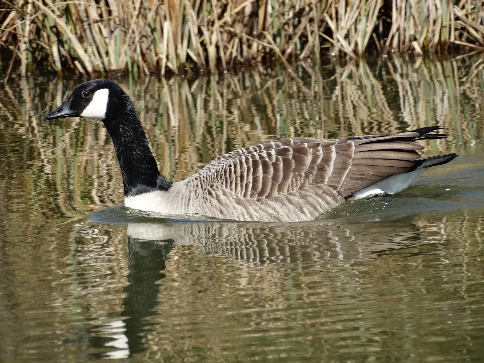
The path took us through Holly Farm where there are two very pretty fishing lakes which we weren't aware of.  A few people were fishing there and we saw some Canada Geese on the lake.

Holly Farm Lake

Fishing on Lake
Canada Goose on lake

We continued across fields with a small section of the route on country lanes until we reached Willoughby Waterleys.  This small village was mentioned in the Doomsday book as being in the region of Guthlaxton with 22 households!  Its former name was Willoughby Waterless, which meant "willow-tree farm/settlement" and "water meadows".

It was approaching midday and the village pub, The General Elliott, looked very inviting so we stopped for about 45 minutes and had a drink and a pub lunch, which was excellent.  It was lovely to be able to sit outside.  Although fairly near to us, we had never visited this pub before but we will definitely go back as the landlord and landlady were very friendly and didn't mind us going in with muddy boots.  We saw the first Brimstone butterfly of the year while eating.

Paul at the General Elliott - our lunch stop

Willoughby Waterleys to Peatling Magna

We then continued on our walk across fields to the pretty village of Peatling Magna crossing stiles and streams along the way.  It was so lovely to hear skylarks singing, something that has become a rarity these days.

Small brook between Willoughby Waterleys and Peatling Magna


We didn't get to see much of Peatling Magna as the path entered to the south of the village and our route took us south towards Bruntingthorpe, our end point.  This village does have its own pub - the Cock Inn, where we have eaten before, and which would have also been a good lunch stop had we chosen a longer route.  We did however pass the village church.

Peatling Magna

Peatling Magna Church

Peatling Magna to Bruntingthorpe

The final leg for today took us down Main Street and out of Peatling Magna.  We then set off across fields again heading towards Bruntingthorpe.  

Fields between Peatling Magna and Bruntingthorpe

We made a small mistake and left the Leicestershire Round about 1 mile too early.  One of the fields was planted with oilseed rape and there were many paths crisscrossing it and it was not clear which was the proper route.  We exited this field at the side of a house only to see a road sign saying Bruntingthorpe 1 mile!  Rather than retrace our steps back to the path we continued along the road until we got to the corrent end point. 

Daffodils along roadside in Bruntingthorpe
We decided that we would do the part that we missed another time.

Distance

Using my new "Map My Run" app, we did a total of 8.92kms (5.5 miles).  This was not as long as we had intended as I had miscalculated the distance.

Next Walk

We plan to walk from Bruntingthorpe to East Langton next time, which we plan to do on Saturday 2nd April, weather permitting