We managed
to get this walk in on Saturday 30th July just one week after Walk
4. Another early start although the
forecasted temperatures were far more comfortable than the previous walk. This was a far more enjoyable than the
previous one and signposting was far better although some
waymarkers were hidden by hedgerows and trees.
Somerby to Thorpe Satchville
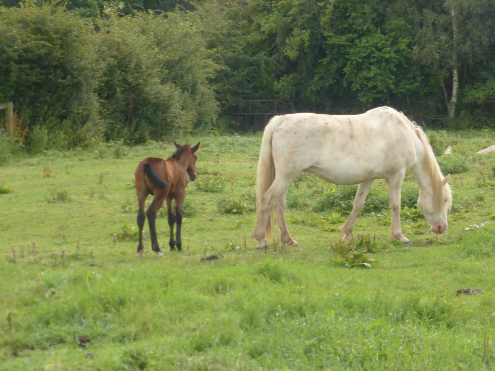 |
| Horse and Foal near Somerby |
Todays route
took us out of Somerby in a northerly direction through fields of horses, sheep and
arable farmland. Being very high up, we had some beautiful views of the area.
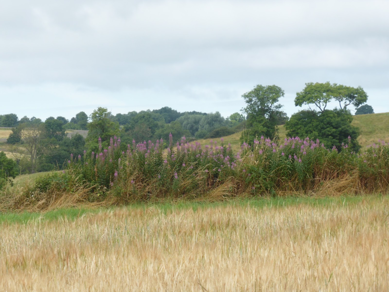 |
| Countryside view near Somerby |
 |
| Sheep in the kissing gate. Paul said they were "baa'ing the way" |
We arrived at the Ernest Cook Trust Permissive Path,
which to our relief was marked as “Open”.
This path, when open, allows the Leicestershire Round to pass through the Little
Dalby Estate, which is owned by the Trust and leads directly to the top of
Burrough Hill.
 The Ernest Cook Trust is an outdoor
learning charity devoted to the conservation and management of the
countryside and has estates in various parts of the UK. It actively encourages children and young
people to learn from the land through hands-on outdoor learning experiences on
its estates and by offering grants.
The Ernest Cook Trust is an outdoor
learning charity devoted to the conservation and management of the
countryside and has estates in various parts of the UK. It actively encourages children and young
people to learn from the land through hands-on outdoor learning experiences on
its estates and by offering grants.
Part of the
permissive path went through woodland where we encountered similar extremely
wet and muddy conditions as we did in Owston Woods on the previous walk but
fortunately this time it was possible to walk away from the path on firmer
drier land although this did not stop us from getting very muddy shoes and
trousers.
 |
| Sodden woodland track through the woods |
Burrough Hill Country Park
 |
| View from Burrough Hill over Leicestershire. |
After leaving
the woods we crossed grassland and made our way to the toposcope at the top of
Burrough Hill where we had some great views of the surrounding countryside.
Burrough Hill
is an Iron Age fort situated on a hill near to the village of Burrough on the
Hill. It is 200m above sea level. Many archaeological investigations have
taken place there in recent years. The toposcope
indicates places within view from this high point.
 |
| Toposcope markings on Burrough Hill |
 |
| Toposcope on the ridge of the ancient fort |
From the toposcope we could see the onward route but
either had a very steep scramble down a grassy bank or a more gentle stroll
around the fort near to the Trig marker where we joined the undulating path to Thorpe
Satchville.
We chose the latter. As we
got further away we had some really good views of Burrough Hill. We left the farmland about a mile from the Thorpe
Satchville and walked along a quiet lane past a couple of farms until we
reached the village.
 |
| Looking back towards Burrough Hill |
Thorpe Satchville is a small hilltop village and part of
the civil parish of Twyford and Thorpe which had a population of 628 at the 2011 census. The village church, St Michael and All Angels
(Church of England) is Grade II listed and was built in the late 15th
century.
We didn’t see much of this village as the path took us
straight out again through the grounds of the church. We did made a short stop for a drink and
snack on leaving the churchyard.
 |
| St Michael and All Angels Church, Thorpe Satchville |
The route took us down a hill and under the viaduct of
the former Market Harborough to Melton railway.
Much of this section was through undulating fields of sheep and then
cereal crops as we got nearer to Ashby Folville.
 |
| Inquisitive s heep near to Ashby Folville |
 |
| Gatekeeper butterfly |
 |
| Lunch Stop at Cardington Arms, Ashby Folville |
On arriving, we made a short detour to the Cardington Arms, sat in their well kept gardens and had a very welcome cider and a light lunch.
Ashby Folville dates back to the Domesday Book of 1086 when
it was known as Ascebi which is Danish for the Place of the Ash Tree. It is listed as having 24 villagers, 2 slaves,
3 smallholders, and one priest. It was
owned by Countess Judith who was related to William the Conqueror. Folville was added to the name in around 1200
ad when the Folville family were Lords of the Manor. The village church of St. Mary dates from 1220.
 |
| Ashby Folville Cricket Ground |
Just opposite the pub is the village cricket pitch which
is reputed to be one of the best in the country.
Ashby
Folville to Gaddesby
The route then followed
the path of the Gaddesby Brook for most of the way to Gaddesby, passing quite
close to it in places.
 |
| Gaddesby Brook |
 |
| Ploughed field leading towards Gaddesby Church |
Just before reaching the
village we found the waymarker pointing over a recently ploughed field which
was extremely hard to walk over and it was uphill as well making it even more
difficult.
Gaddesby also dates back
to the Domesday Book and was known as Gadesbi – a pastoral village with a
mill. St Luke’s Church was originally a
Norman chapel and dates from the 10th century but was added to over
the next few centuries. The village
holds an annual 5.25 mile cross country run, known as the Gaddesby Gallop on
the Saturday morning before Christmas.
The Round did not go into
the village but did pass the backs of some very nice houses with enormous
gardens.
Gaddesby to Frisby on
the Wreake
 |
| Oilseed Rape fields awaiting harvesting |
The final
stretch of todays walk took us through arable fields, including some oilseed
rape fields which had grown over the footpath and made it very narrow. Harvesting of oilseed rape was ongoing a
couple of fields away and we were very glad that they were not working in this
field today otherwise it would have been extremely dusty.
We crossed the busy A607 – Leicester to Melton Road
and walked downhill across one of the few fields of cows that we encountered today, to
Frisby on the Wreake.
Frisby on the
Wreake, is a small village in the Upper Wreake Valley with a population of
around 600. Parts of the village date
back to mediaeval times. The name
“Frisby” is of Danish origin and means “settlement of the Frisians”.
The “on the Wreake” part was added to
distinguish it from another Frisby in Leicestershire. The village cross used to be situated in the village centre but was moved to a safer site to avoid being further damaged by traffic. A Time Capsule has been placed beneath it for the benefit of future generations.
 |
| The Village Cross |
 |
| Row of cottages in Frisby on the Wreake |
Distance
We covered
about 11.9 miles today and have now completed approximately half of the
Leicestershire Round.
Next
Walk
The next walk will be
from Frisby on the Wreake to Mountsorrel which we hope to do sometime in August.