The Leicestershire Round is a long distance circular public footpath around Leicestershire. It is a100 mile circular walk around the county connecting villages and places of historical and geographical interest. It was created by the Leicestershire Footpath Association in the early 1980s to celebrate their centenary.
Paul and I set ourselves a challenge to walk the Leicestershire Round, which passes close to where we live, during 2016, to get the opportunity to see and learn more of the beautiful county that we live in.
On Good Friday, 25th March 2016, we did our first part of the walk. We chose to start at Dunton Bassett, a small village South of Broughton Astley.
On Good Friday, 25th March 2016, we did our first part of the walk. We chose to start at Dunton Bassett, a small village South of Broughton Astley.
Dunton Bassett to Willoughby Waterleys
Our official start point was the Dunton Bassett Arms or DBA as it is more commonly known. |
| The DBA at Dunton Bassett |
The weather couldn't have been better. It was a beautiful sunny and warm spring day and before long we had removed our fleeces, and wished we had left them at home.
 |
| First waymarker in Main Street, Dunton Bassett |
The footpath left the village in Main Street and took us across fields to the A426 Lutterworth Road and towards the M1 motorway. The route took us over the M1 and to the north of Ashby Magna.
We had to contend with the continuous drone of traffic noise from the motorway until we approached the next village of Willoughby Waterleys.
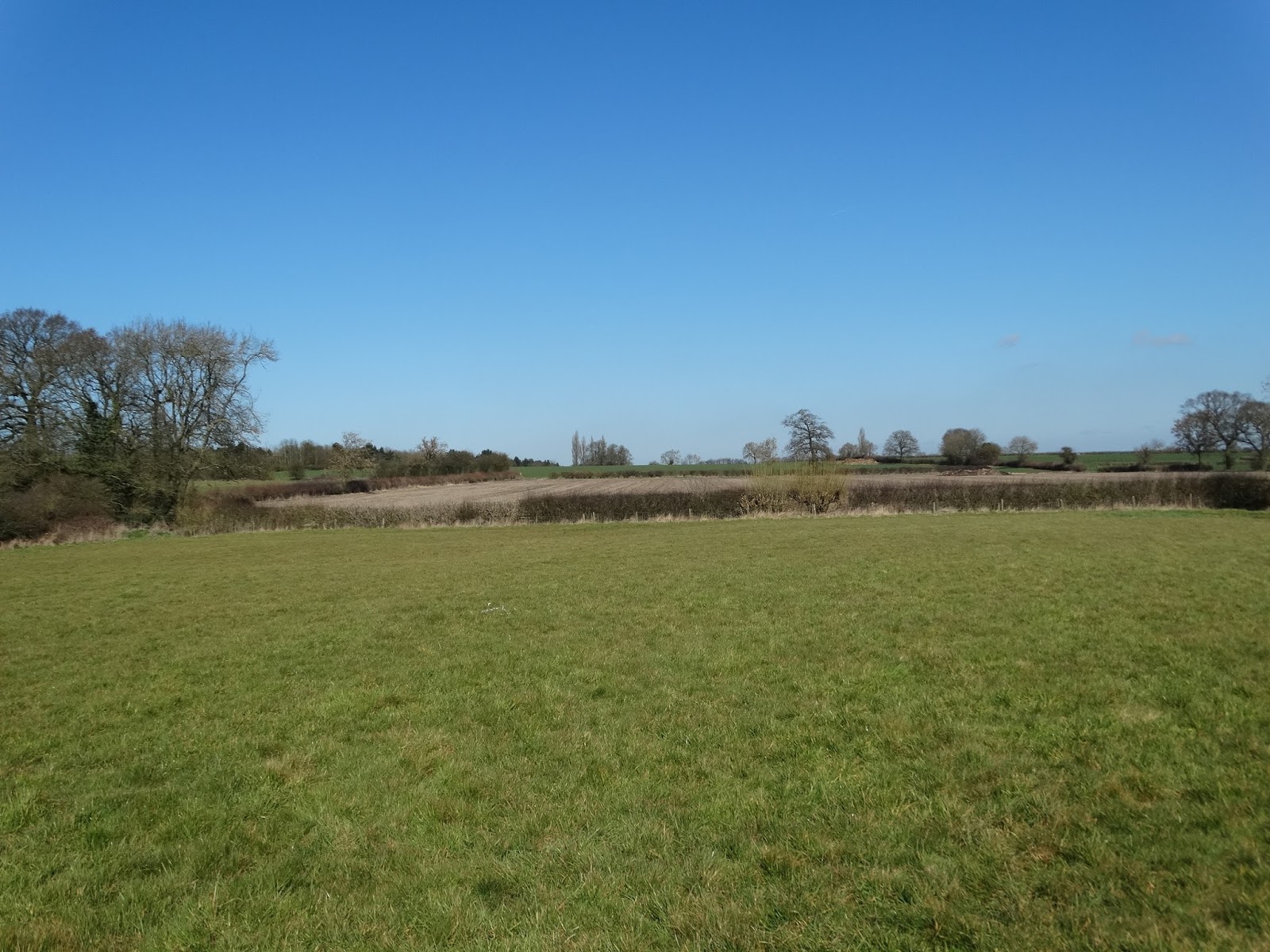 |
| Not a cloud in the sky near Ashby Magna |
The path took us through Holly Farm where there are two very pretty fishing lakes which we weren't aware of. A few people were fishing there and we saw some Canada Geese on the lake.
 |
| Holly Farm Lake |
 |
| Fishing on Lake |
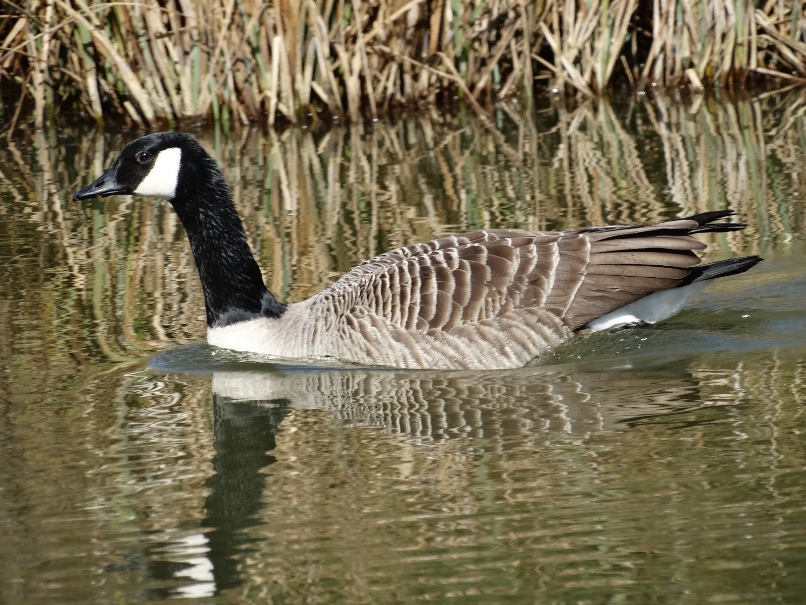 |
| Canada Goose on lake |
We continued across fields with a small section of the route on country lanes until we reached Willoughby Waterleys. This small village was mentioned in the Doomsday book as being in the region of Guthlaxton with 22 households! Its former name was Willoughby Waterless, which meant "willow-tree farm/settlement" and "water meadows".
It was approaching midday and the village pub, The General Elliott, looked very inviting so we stopped for about 45 minutes and had a drink and a pub lunch, which was excellent. It was lovely to be able to sit outside. Although fairly near to us, we had never visited this pub before but we will definitely go back as the landlord and landlady were very friendly and didn't mind us going in with muddy boots. We saw the first Brimstone butterfly of the year while eating.
 |
| Paul at the General Elliott - our lunch stop |
Willoughby Waterleys to Peatling Magna
We then continued on our walk across fields to the pretty village of Peatling Magna crossing stiles and streams along the way. It was so lovely to hear skylarks singing, something that has become a rarity these days. |
| Small brook between Willoughby Waterleys and Peatling Magna |
We didn't get to see much of Peatling Magna as the path entered to the south of the village and our route took us south towards Bruntingthorpe, our end point. This village does have its own pub - the Cock Inn, where we have eaten before, and which would have also been a good lunch stop had we chosen a longer route. We did however pass the village church.
 |
| Peatling Magna |
 |
| Peatling Magna Church |
Peatling Magna to Bruntingthorpe
The final leg for today took us down Main Street and out of Peatling Magna. We then set off across fields again heading towards Bruntingthorpe. |
| Fields between Peatling Magna and Bruntingthorpe |
We made a small mistake and left the Leicestershire Round about 1 mile too early. One of the fields was planted with oilseed rape and there were many paths crisscrossing it and it was not clear which was the proper route. We exited this field at the side of a house only to see a road sign saying Bruntingthorpe 1 mile! Rather than retrace our steps back to the path we continued along the road until we got to the corrent end point.
 |
| Daffodils along roadside in Bruntingthorpe |
Distance
Using my new "Map My Run" app, we did a total of 8.92kms (5.5 miles). This was not as long as we had intended as I had miscalculated the distance.Next Walk
We plan to walk from Bruntingthorpe to East Langton next time, which we plan to do on Saturday 2nd April, weather permitting